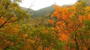
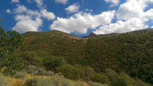
Known as the Bonneville Shoreline (BST), this trail is one of Utah’s heaviest used. Born 15500 years ago by Lake Bonneville this path now follows this once ancient shoreline.
History:
More than half of Utah once covered by a body of water which extended as far west as Nevada, north to Idaho, and to its southern border. Leaving behind what is known as a geographical shelf.
This area first surveyed in the 1800’s and the Bonneville Lake Shelf Trail finally formed in 1990. It began being preserved by a coalition established in 1997. A community of volunteers helped develop the trail to what it is today, stretching from the small southern town of Nephi, UT, south of Provo, heading north to the Idaho border. This 5100-foot elevation trail is currently over 100 miles, rolling along the base of the Wasatch Mountains. Additional plans will route it north to the Idaho border giving the total distance covered 280 miles.
What you’ll see:
The rolling trail is the perfect terrain for all skill levels that gives explorers unobstructed views of Salt Lake City and Antelope Island’s mountainous terrain to the north. Caution: this trail has very little protection from the summers sun. Take proper precautions if planning to hike for long periods of time. Also, there are many unofficial spurs and connectors providing treks into the foothills.
Having proximity to many towns make it a quick favorite for runners, hikers, and bicyclists. All sharing this pathway travel awareness is a most two-way traffic is expected and should be respected.
ACCESS:
There are several access areas where parking is available. The way the BST connects the mountains to the surrounding city makes it easy to see why millions have used this great recreational trail.
Other Trails to consider:
During our stay in SLC, we not only hiked the BST but we headed North to Ogden UT.
Ogden a beautiful little town and regarded one of the best places in the US to retire. Nestled in the Wasatch Mountains Front range, it has a big city feel with an out of doors atmosphere. Just out side this quaint little town east of Rt 39 you can find the Coldwater Canyon trailhead.
It offers a large parking lot with easy access to the trailhead. Keep in mind unlike the Shoreline trail this will give you more of a challenge. You send right off the parking lot with a 500-foot 1.6-mile climb to the Indian trail. Continue on the right fork up the Indian Trail. This 2.5-mile trek will give you a 2000 foot vertical climb as it offers stunning views of ColdWater Canyon making your way around to the front range. The trip is worth the effort. The valley view along with the sight given the Antelope island makes for a well-desired gift for the work you just put forth.
Pat, Director of Touring


